Natural Flood Management in Calderdale

Natural Flood Management (NFM) is important in Calderdale as it plays in key role in slowing the flow of water from our hillside, reducing the risk of flooding in the valleys.

Natural flood management sign at Hardcastle Crags in Calderdale

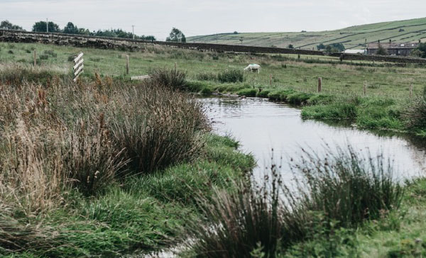
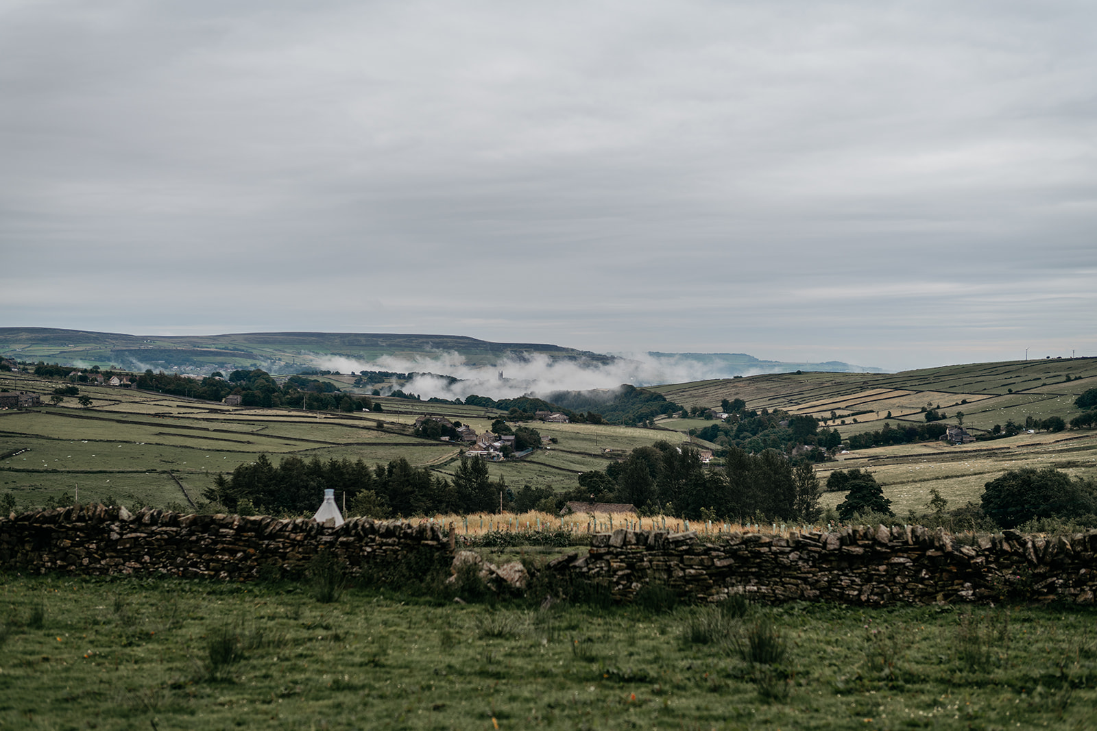
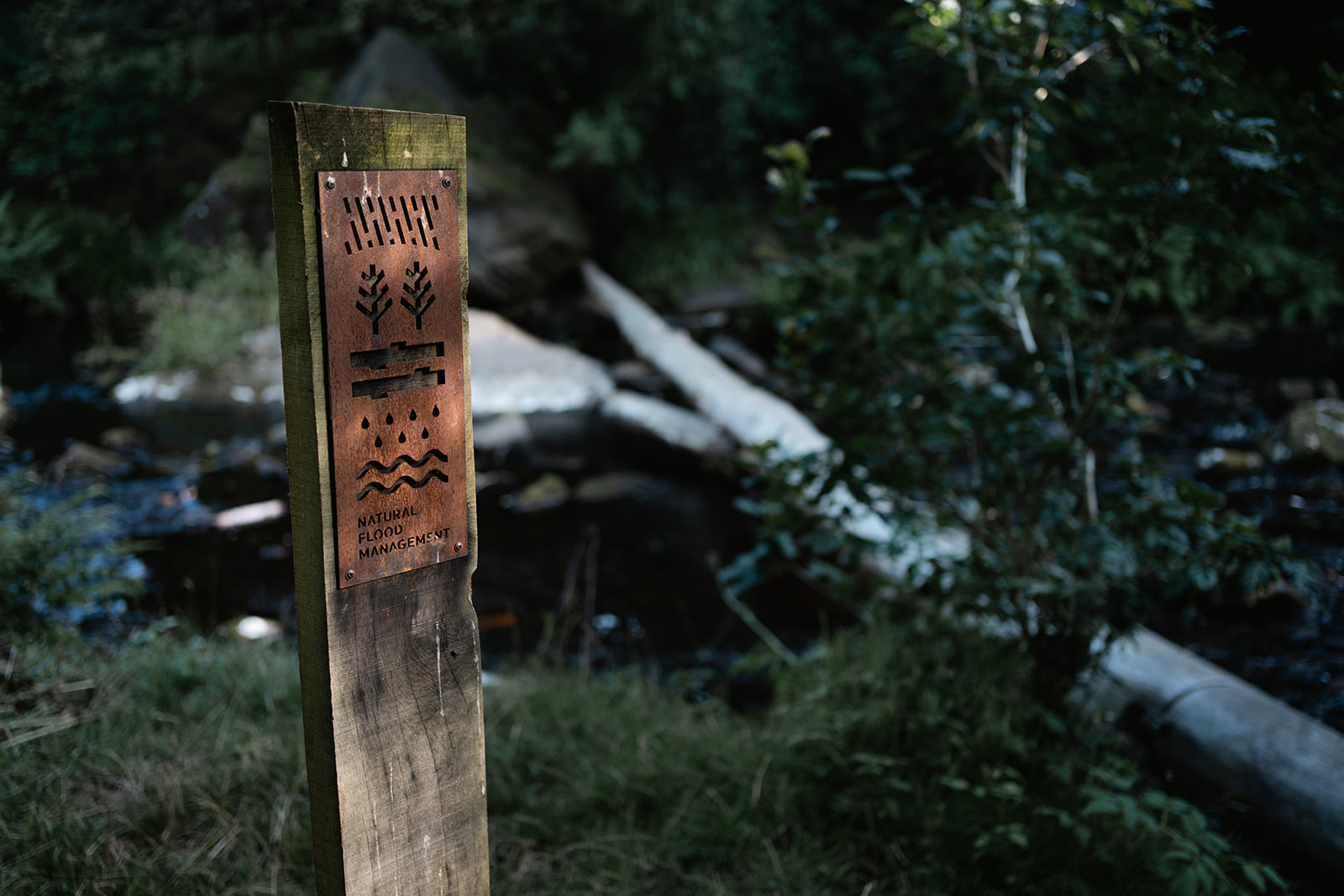
Natural flood management is a key theme in our Flood Action Plan.

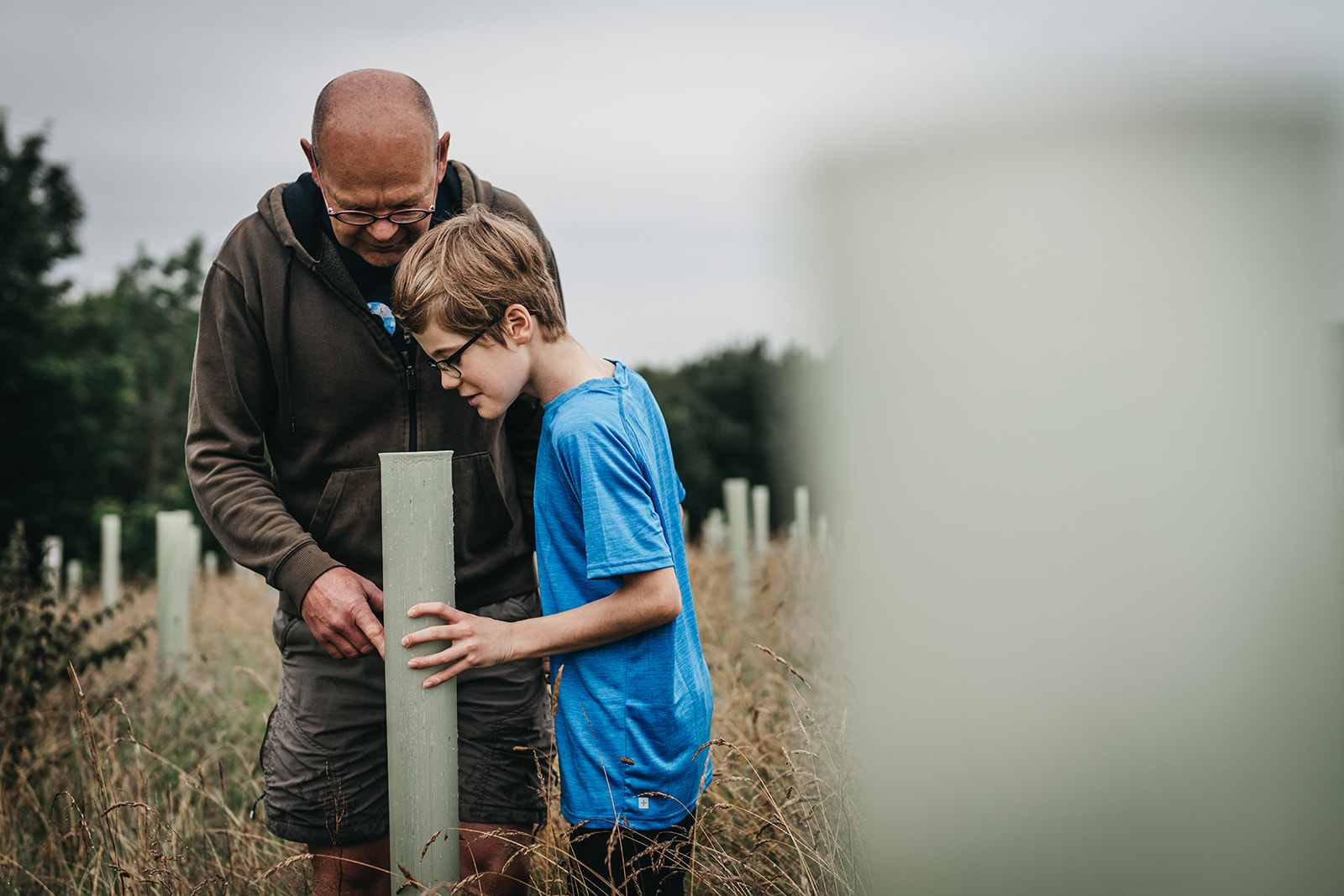
Local organisations play an essential role in developing and delivering projects, securing funding and improving the evidence base to promote its use on a wider scale. The actions in the Plan are being delivered by a range of partners, including:

  • Third sector partners including National Trust, Moors for the Future, Calder and Colne Rivers Trust and Yorkshire Wildlife Trust
  • Calderdale community organisations including Forus Tree and Slow the Flow
  • Key statutory organisations including Calderdale Council, the Environment Agency and Yorkshire Water

The Plan is also delivered in collaboration with landowners across Calderdale. You can find a general introduction to NFM on this page.

Current projects in Calderdale

This interactive map shows completed and ongoing Natural Flood Management projects across the Calder catchment. It details the types of measures, funding sources and partnerships that have made this work possible.

Attenuation pond filled with water in a farmers field.
How to use the map


Click the 'View the map' button, then press the ‘Present’ arrow and allow the map presentation to fully load. This can take a couple of minutes depending on your internet speed. The orange hexagonal shapes at the top of the map explain how to move around the map and take a look at the project information presented.

This spreadsheet summarises all of the information presented in the map.


You can also explore real-world examples of how people across Calderdale use nature to build flood resilience across our local landscapes.

How can I help?

While lots of work is already underway in Calderdale to naturally manage flood risk, we need action on a larger scale to have the biggest impact. If you’re interested in implementing natural flood management measures, here are some ways you can get involved:

A Calderdale Council NFM officer inspects a rock leaky dam nestled in the wild grass of Norland Moor.
Landowners and farmers

NFM can include a range of different measures that vary in complexity, cost and benefits provided. The advice below has been designed to help you decide if NFM is right for your land:

  • Practical guidance – this simple guide provides information on natural flood management measures for landowners and farmers in Calderdale
  • Consents and approvals – this guidance document helps landowners understand which consents or permits have to be obtained before undertaking natural flood management
  • Funding – find out more about the Landowner Grants Scheme which provides funding to support natural flood management
Property owners

Even if you don’t have land available, there are still steps you can take to slow the flow of water in a flood. Find out more about the simple changes you can make to your property.

Volunteers

You can also volunteer with local community. The projects in the interactive map further up the page show where there are opportunities to volunteer. Other opportunities are also shared on our News page.

Hillsides in Calderdale with low lying clouds
Natural Flood Management opportunities

The Natural Flood Management Opportunities map shows:

  • The land areas where new NFM measures are likely to make the greatest impact for flood resilience
  • Where ecological impacts are likely to be low, or where there may be some ecological constraints
  • Further assessments may be needed for the suitability and benefits of NFM and any constraints at the locations identifies.

The land across Calderdale is colour coded to show potential high-level opportunities based on our current ecological knowledge and catchments which have been prioritised through modelling.

Farmer and his son looking down the protective plastic tube at the tree growing.
What can NFM deliver in Calderdale?

Recent studies across Calderdale help us understand where to target our work and how scaling up NFM builds better flood resilience.

Two recent pieces of work give us a picture of what could be achieved:

  • Calderdale NFM Study (Atkins) – Using a specialist tool called ‘NFM Studio,’ this high-level study explores the potential for Natural Flood Management across the entire Calderdale region.
  • NFM Calderdale Summary Modelling Report (iCASP) – This study investigates three sub-catchments in the Upper Calder Valley to better understand how current land management affects flooding. It identifies which NFM interventions, such as leaky dams or woodland creation, are most effective for these specific areas.


Interested in Natural Flood Management for your land? Contact us at [email protected] to find out how we can help.

Back to the Top
arrow arrow
Website Feedback Your Opinion Matters Thank you for submitting your feedback
arrow

Have you found what you were looking for on our site today?

Yes, thank you
No, unfortunately not
I’m not sure, I’m still looking

Would you be willing to share a bit more detail about your site experience today? It will only take a few minutes of your time.

Yes please
No thank you

This will help us to make future improvements to our website to help you find the information that you need quickly and efficiently.

Skip to content