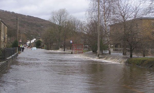
Walsden
The Walsden Catchment is approximately 18km2 and is made up of six sub-catchments which all meet in Walsden village. The topography of the catchment is steep, creating rapid run-off following periods of intense rainfall. The valleys are predominantly rural agriculture and Pennine moorland. Within the catchment there are several large water bodies; mainly drinking water reservoirs, as well as several potentially significant millponds.
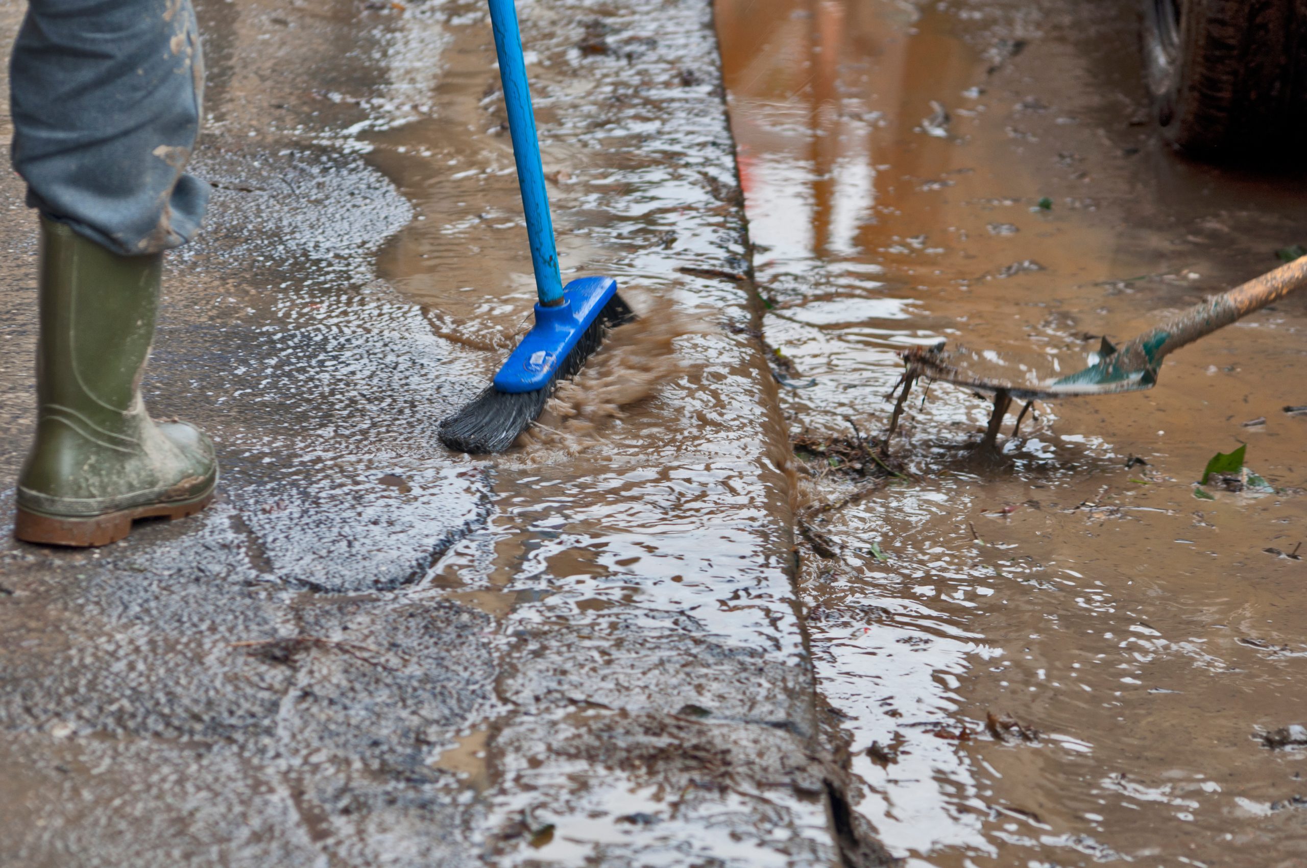
Please note: Unfortunately, the project received a minimal funding allocation for the current financial year 25/26 meaning it has had to pause. However, the project team have completed several tasks to ensure that once the project re-starts it is in the best possible position to commence at pace.
+
Flooding history and proposed measures
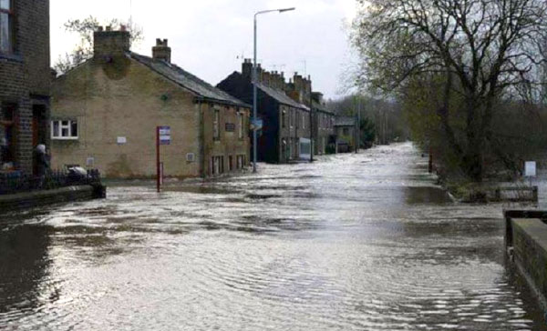
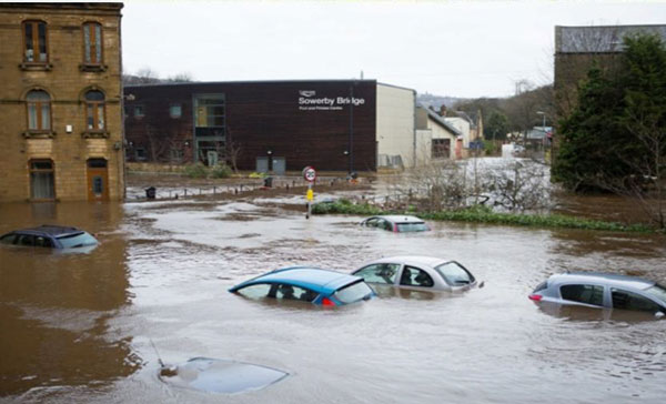
Walsden has a long history of reported flooding, with the most recent event occurring in February 2020. Other severe flood events occurred in December 2015, July 2013 and June 2012. The flooding can also cause severe damage to infrastructure, including Walsden Railway Station, Calder Valley railway line and Winterbutlee Tunnel. Walsden Cricket Club and the recreational park area can also become inundated during flooding incidents.
During the project development we have completed several tasks including a detailed hydraulic river model of Walsden, undertaken ground investigation, and moved from a long list down to shortlist of options to reduce flood risk to Walsden. This had led to an economically viable and technically feasible preferred option. The preferred option is a suite of measures due to the complex catchment. The measures include:
- Strengthening existing and constructing new walls at Square Road, Sun Valley Drain and Vulcan Street
- Floodwater storage at Scott Street recreational ground
- Additional culvert from Unity Street to downstream of Hollins Mill
- Debris deflectors on Ramsden Wood Road and gravel trap on Kershaw Road.