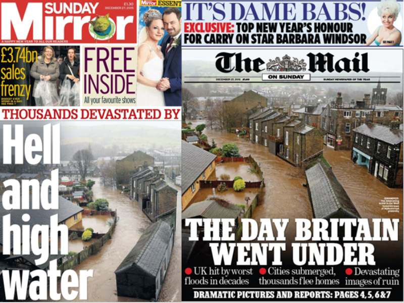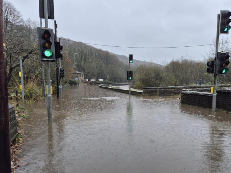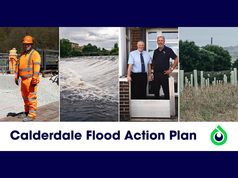
Historic Flooding
in Calderdale
Why does Calderdale flood?
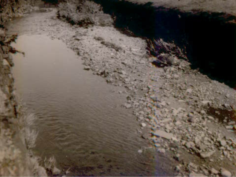
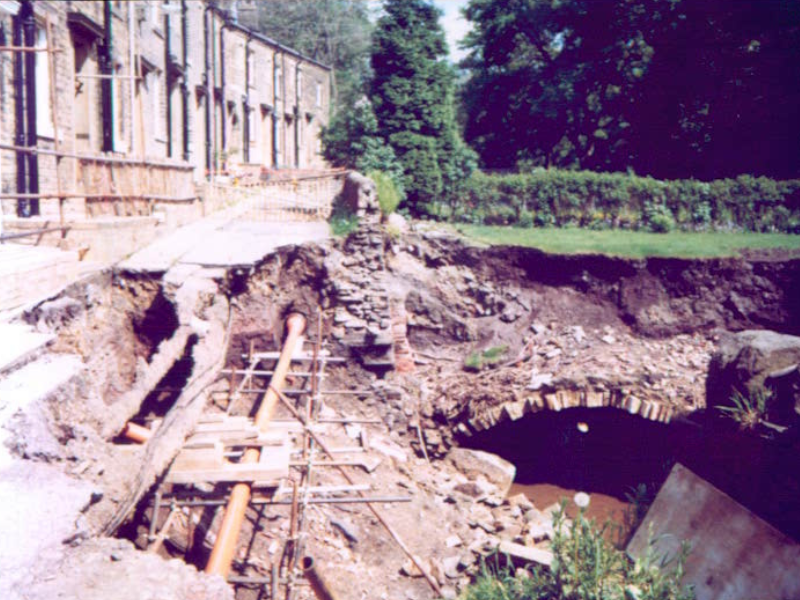
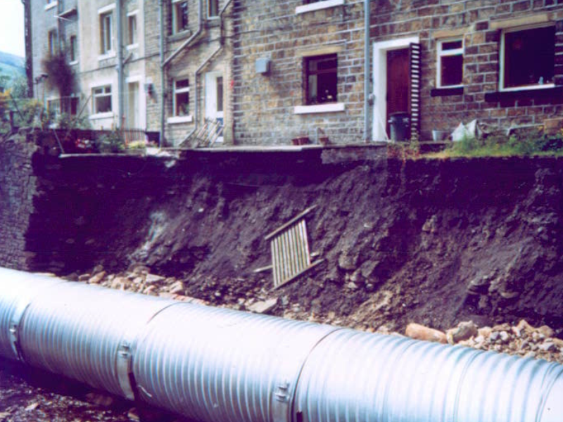
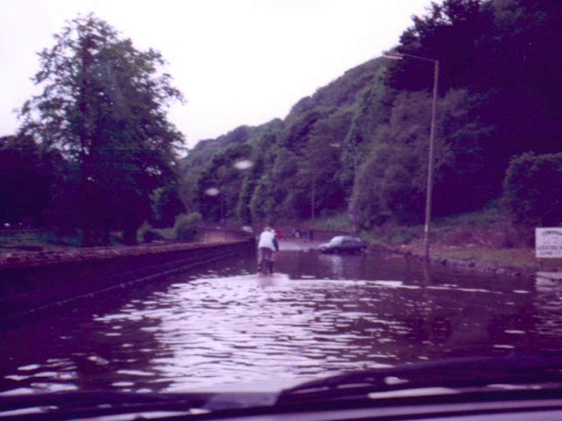
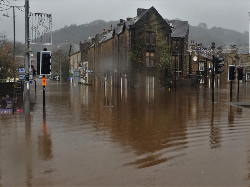
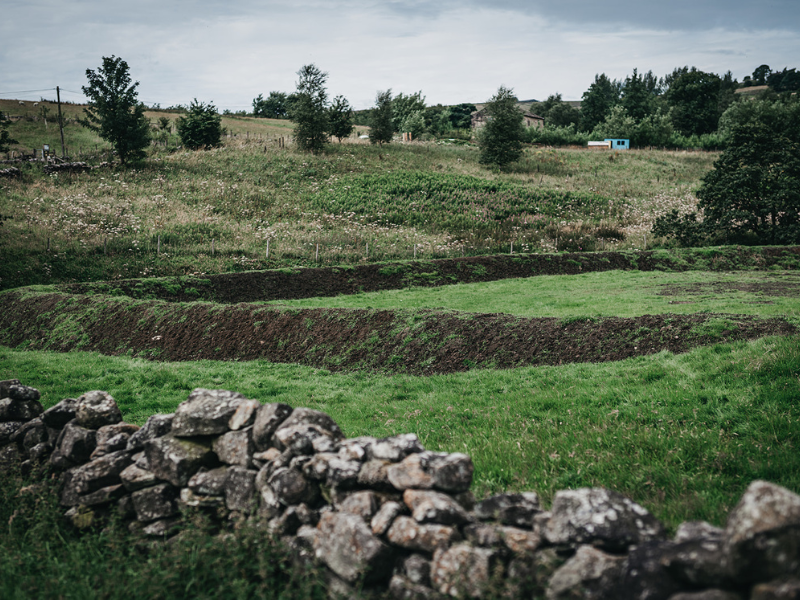
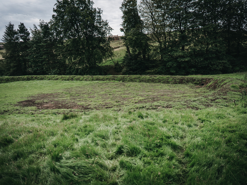
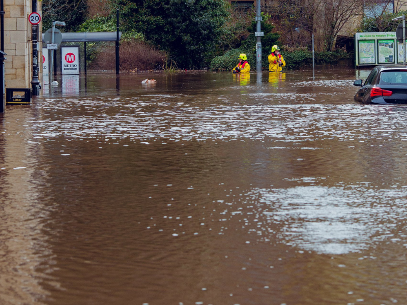
Calderdale is especially likely to flood for several reasons. The area has steep hills and narrow valleys, so when it rains, water runs downhill very quickly into the River Calder and smaller streams. Over time, towns and factories have been built on the valley floors, which leaves less space for water to spread out naturally and means more rain runs straight off hard surfaces. When you combine all this with heavy rainfall, it means there is a high risk of both rivers overflowing and surface water flooding.
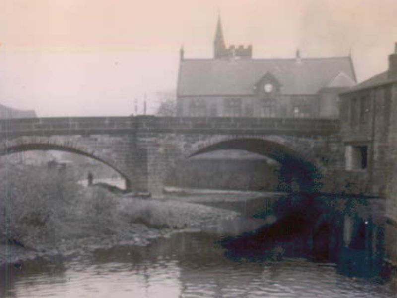
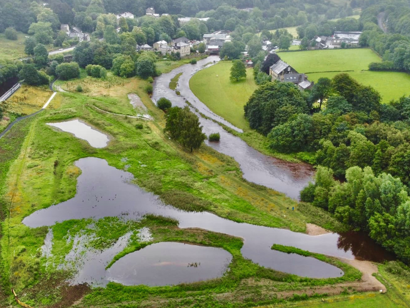
The Rochdale Canal runs right next to the River Calder, so when the river level rises, the canal can be affected too. Canals aren’t designed to take large amounts of floodwater. They were built to stay separate from rivers. In heavy storms, water from the river can spill over into the canal and flood parts of it, including gates and locks.
Find out more about the causes of flooding.
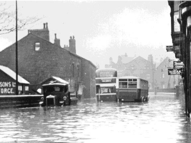
A long history of flooding
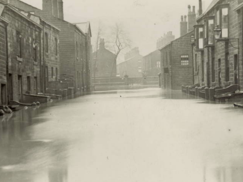
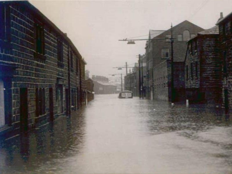
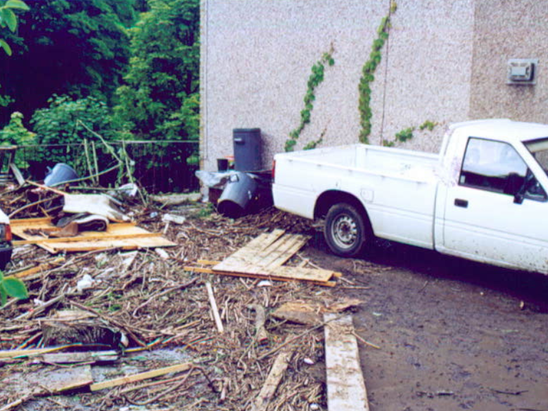
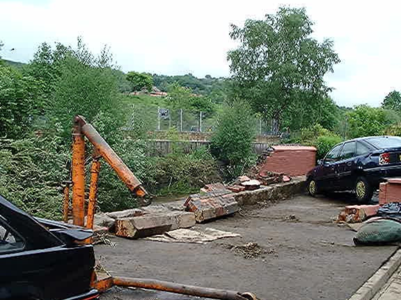
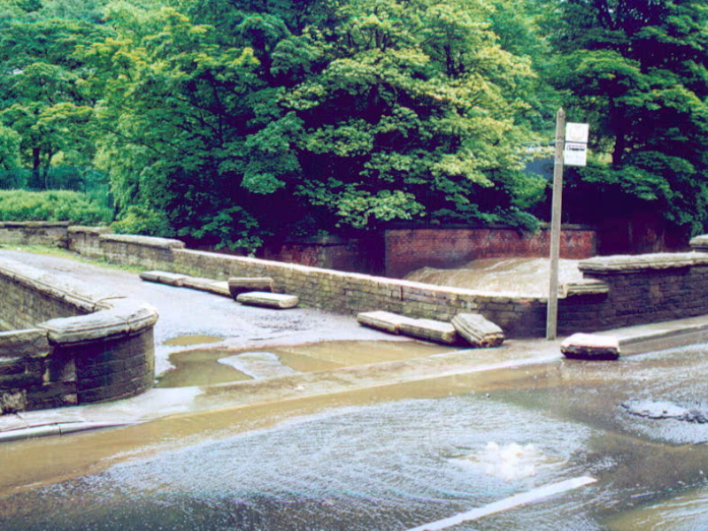
Flooding has been happening in Calderdale for a long time. Records go back to the early 1600s. Flash flooding from heavy rain can happen anywhere in the area, but towns and villages along the Calder Valley are most at risk.